


| |
| APRS (automatic packet reporting system) is a system by
which position location information being formatted into a computer based
mapping system. The position information is transmitted on a common
frequency. Gateways then take the received data and use the Internet to post
position information so anyone with Internet access can see and use the
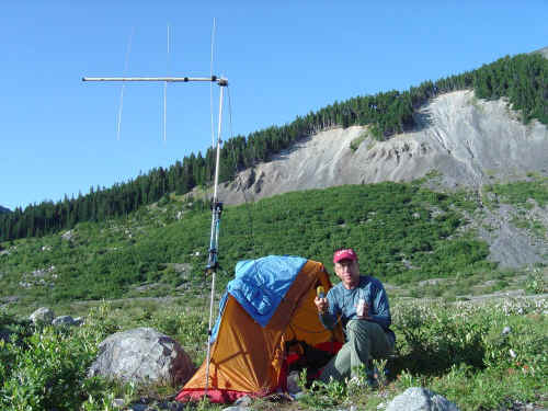
data to display on a map. The picture is of Peter VE7QRZ operating APRS
close to The Great Inland Sea. His position has been digipeated through
ISS and PCSAT at remote locations where terrestrial gateways were
out of range.
. |
|